How can this delta city manage growth and flooding with solutions appropriate to its socio-ecological context?
Image Carousel with 10 slides
A carousel is a rotating set of images. Use the previous and next buttons to change the displayed slide
-
Slide 1: Can Tho, Vietnam, Sentinel-2 - Atmospheric penetration
-
Slide 2: Cai Rang floating market on the Can Tho River
-
Slide 3: Canal front housing to be displaced by the future levee
-
Slide 4: Dike construction in the heart of Can Tho
-
Slide 5: Dr. Treung explains Can Tho's unique challenges
-
Slide 6: Dragon fruit trees in a fruit orchard in Can Tho
-
Slide 7: GSAPP and Can Tho University students and faculty
-
Slide 8: Jup Hong Thai, manager of a star apple orchard
-
Slide 9: Hauling fish to market on motorbikes
-
Slide 10: Students and faculty touring a wastewater treatment facility
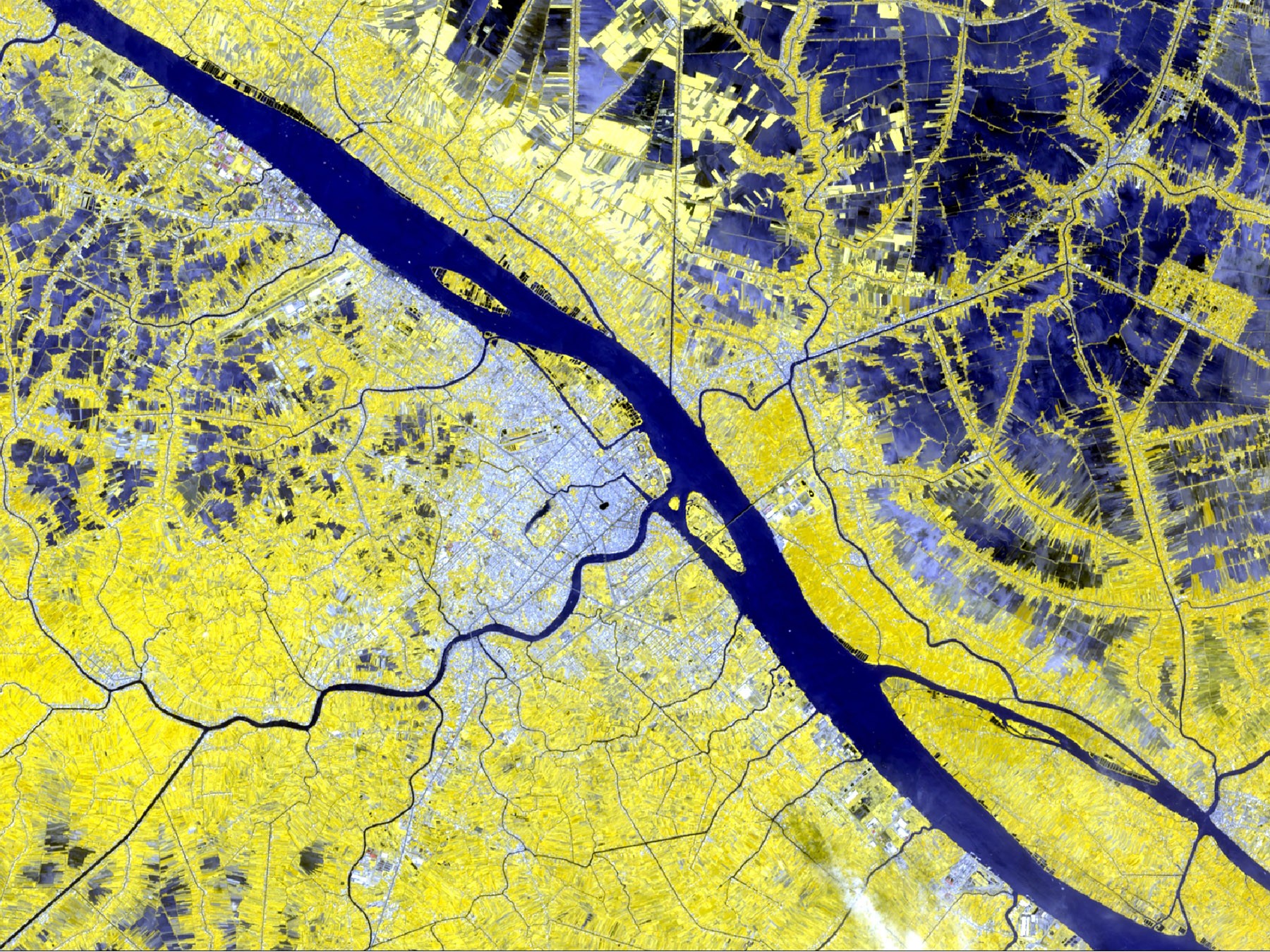
Can Tho, Vietnam, Sentinel-2 - Atmospheric penetration
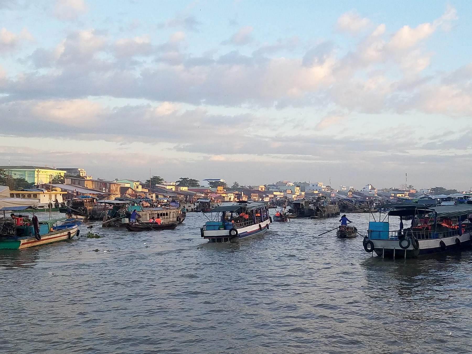
Cai Rang floating market on the Can Tho River
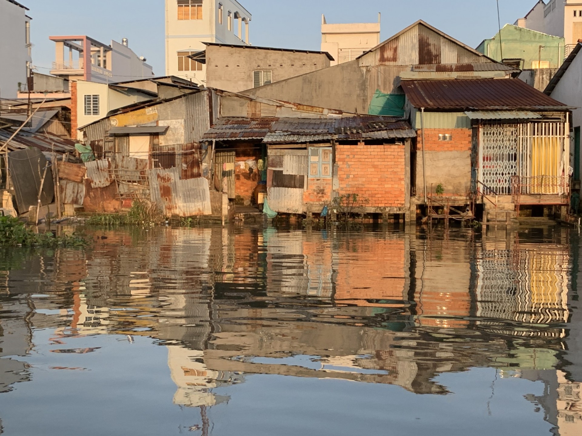
Canal front housing to be displaced by the future levee
Dike construction in the heart of Can Tho
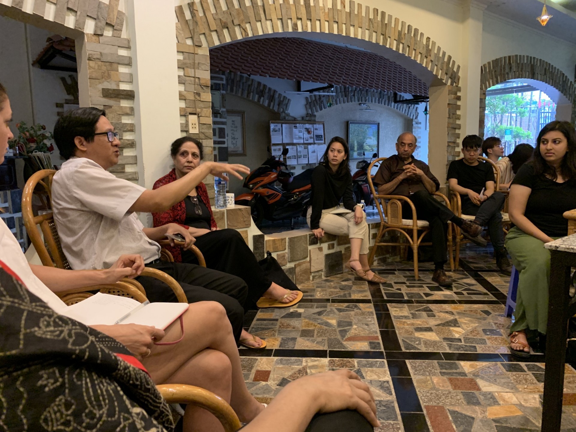
Dr. Treung explains Can Tho's unique challenges
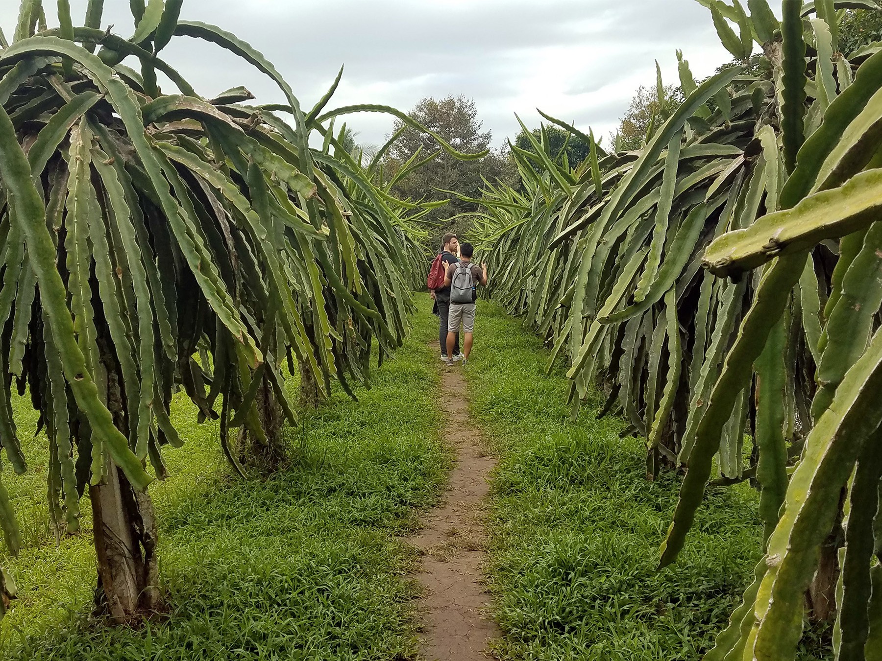
Dragon fruit trees in a fruit orchard in Can Tho
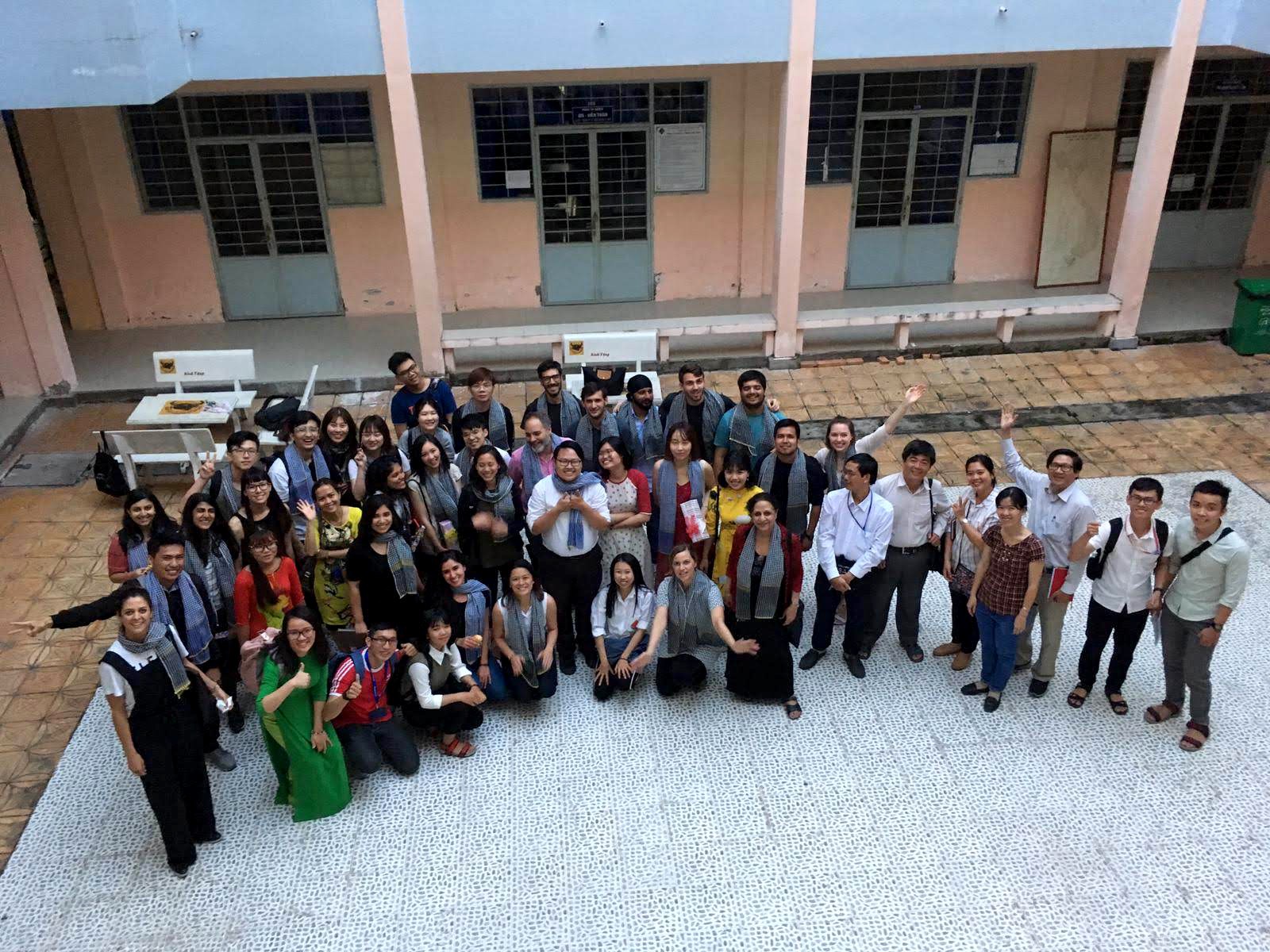
GSAPP and Can Tho University students and faculty
Jup Hong Thai, manager of a star apple orchard
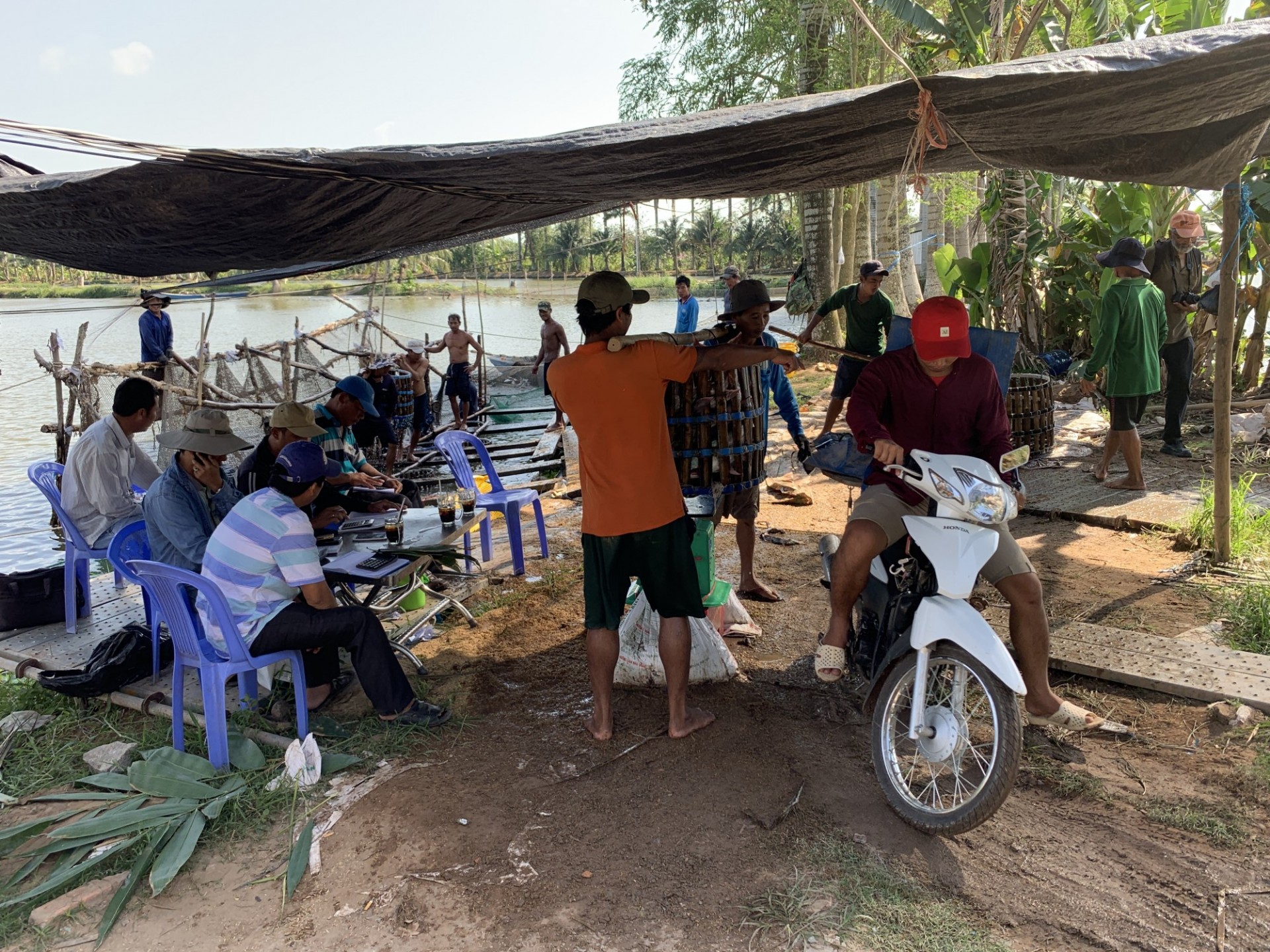
Hauling fish to market on motorbikes
Students and faculty touring a wastewater treatment facility
For thousands of years, the Mekong River’s sediment deposits have created a vast delta which sustains some of the world’s richest ecosystems, cultures, and agricultural practices. For centuries, humans have managed this watery land with canals, sluice gates, and agricultural practices finely tuned to the region’s tropical climate and seasonal hydrology. Today these conditions are being radically re-shaped by climate change, sea level rise, urbanization and dam construction.
Can Tho, the largest and most economically important city in the delta, sits at a crossroads between the region’s agricultural past and globally-connected future. As it transitions to an industrial and service-based economy, Can Tho’s urban footprint is expanding rapidly, transforming canals into roads and agricultural land into new residential and industrial areas. These land-use changes are leading to widespread displacement of resident farmers, who are left without the means to support themselves in the new urban areas. These changes are also leading to increased dependence on groundwater for domestic, industrial and agricultural uses, as upstream dams, unpredictable weather patterns, and local water pollution have made local rivers and canals less reliable sources of freshwater. This has led to alarming rates of land subsidence and urban flooding, which put people and property at risk. The city’s response to this flooding to date has been to add more hard infrastructure: levees, channels and pumps.
CRO Dr. Nguyen Hieu Trung invited the Accelerator program to propose new patterns of urban development utilizing a nature-based approach to water management. During a research trip in January 2019, Dr. Trung, led us through an investigation of the region’s agriculture, heritage, infrastructure, recent urban development trends, and changing industrial economy. Alongside students from Can Tho University, we worked together to understand the culture and challenges of Can Tho, and define design principles and project concepts, including agro-urban housing models, district-wide renewable energy utilizing agricultural by-product as biomass, and canal-based and amphibious neighborhoods inspired by the region’s heritage of floating housing and markets.
“The bamboo that bends is stronger than the oak that resists.”
PUBLICATION
CRCL TEAM
FACULTY
Dilip Da Cunha
PARTNERS
100 Resilient Cities
City of Can Tho
Can Tho University
Ho Chi Minh University
NEWS
CRCL Travels to Can Tho, Vietnam with GSAPP Urban Design Studio
